Investigation & Design
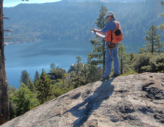
Geologic Mapping, Geotechnical and Geophysical Investigations
CSA has been at the forefront of geologic hazard assessments of hillside areas for over three decades. Representative projects conducted by our team of engineering geologists and geotechnical engineers range in size and scope from relatively small, subdivision-sized investigations to large projects involving tens to hundreds of square miles.

We are well known for the large-scale geologic maps and associated hazard maps we produced for the communities throughout the San Francisco Bay Area. The hazard maps, together with corresponding guidelines developed for each specific area, are utilized on a regular basis to guide development. These maps and companion regulatory procedures have significantly reduced the risk associated with building in hazardous terrains.
CSA completes geotechnical engineering investigations based on appropriate subsurface exploration, soils lab testing and geotechnical analyses. We complete sufficient site surface and subsurface characterization to develop a sound basis for geotechnical analysis of site conditions and the development of recommended design criteria. We insist that geotechnical evaluations are supported on an adequate base of data collected from the site. At appropriate properties, we employ geophysical exploration methods to augment data gathered from borings, test pits or trenches. We utilize a Multi-Channel Seismograph System and ReMi to collect geophysical data.
Foundation Design, Grading and Drainage
From the investigation and design of small earth retention structures to the complex design of large building foundations, CSA provides innovative geotechnical engineering recommendations. In addition to water and wastewater facilities, our civil works projects include schools, commercial buildings and power generation facilities.
Our turnkey design services for grading and drainage works, include:
- Civil Drawings
- Specifications
- Supporting Calculations
- Engineer’s Construction Cost Estimates
- Bid and Contract Assistance
- Construction Inspection and Testing