Resources
Resources
CSA is well known for the geologic, ground movement potential and hazard maps we have produced for several San Francisco Bay area communities. The following is a selection of our most requested maps that we make freely available to the public.
![]() Geologic Cross Sections A-A and B-B, Congress Springs, CA (1.2 MB)
Geologic Cross Sections A-A and B-B, Congress Springs, CA (1.2 MB)
![]() Geologic Map, Congress Springs, CA (4.3 MB)
Geologic Map, Congress Springs, CA (4.3 MB)
![]() Movement Potential Map, Congress Springs, CA (5.7 MB)
Movement Potential Map, Congress Springs, CA (5.7 MB)
![]() Geologic and Seismic Hazards Map, Cupertino, CA (2.1 MB)
Geologic and Seismic Hazards Map, Cupertino, CA (2.1 MB)
![]() Geotechnical and Seismic Hazard Zones, Los Altos Hills, CA (11.8 MB)
Geotechnical and Seismic Hazard Zones, Los Altos Hills, CA (11.8 MB)
![]() Geologic Map, Los Altos Hills, CA (4.7 MB)
Geologic Map, Los Altos Hills, CA (4.7 MB)
![]() Geologic Map, Woodside, CA (4.7 MB)
Geologic Map, Woodside, CA (4.7 MB)
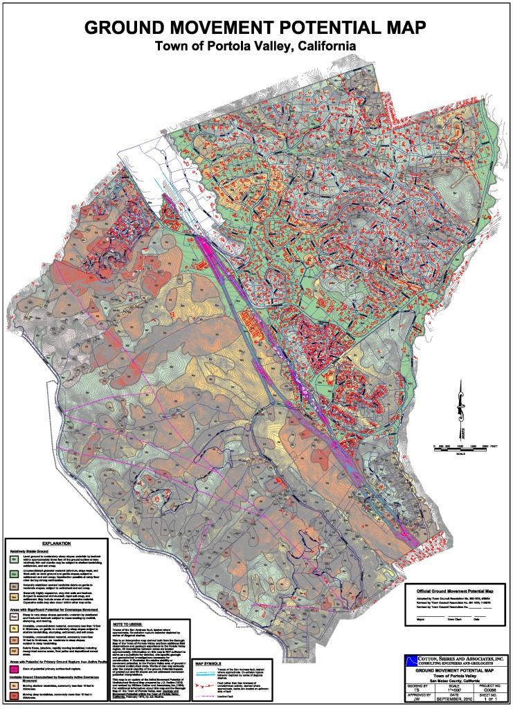
![]() Ground Movement Potential Map, Town of Portola Valley, CA (6.9 MB)
Ground Movement Potential Map, Town of Portola Valley, CA (6.9 MB)
![]() Geologic Map, Town of Portola Valley, CA (8.2 MB)
Geologic Map, Town of Portola Valley, CA (8.2 MB)
![]() Ground Movement Potential Map, City of Saratoga (3.0 MB)
Ground Movement Potential Map, City of Saratoga (3.0 MB)
Publications
![]() The Use of Large-Diameter Boreholes and Downhole Logging Methods in Landslide Investigations (1.4 MB)
The Use of Large-Diameter Boreholes and Downhole Logging Methods in Landslide Investigations (1.4 MB)
![]() Mitigation of 1998 El Nino Sea Cliff Failure, Pacifica, California (1 MB)Geologic and Geotechnical Factors Controlling Incipient Slope Instability at a Gravel Quarry, Livermore Basin, California
Mitigation of 1998 El Nino Sea Cliff Failure, Pacifica, California (1 MB)Geologic and Geotechnical Factors Controlling Incipient Slope Instability at a Gravel Quarry, Livermore Basin, California